Sign Up to get updates & news about us . Get Latest Deals from Walker's Inbox to our mail address.
Phone Number:
(252) 885-6523
Storm Damage Documentation — Fast, Clear, Contractor-Ready
If your area was hit hard, you need clean proof of what happened—quickly. Elevate360 Aerial delivers storm damage photo + drone documentation you can use for repair planning, insurance conversations, and contractor estimates.
Turnaround: Same-day scheduling when available • 24–72 hour delivery
Coverage: [Counties/City/Region you’re targeting]
Deliverables: Drone imagery + ground photos + labeled/annotated report (PDF)
Licensed drone operations • Safety-first workflows • Secure file delivery

Storm Response Active: We’re currently prioritizing inspections in [Area] due to [Storm Name]. Limited slots daily.

Homeowners
Get clear photos of damage without risking a ladder. Perfect for documentation before temporary repairs.
Roofers & Contractors
Job-ready visuals to help you scope faster, communicate with the homeowner, and build estimates with confidence.
Adjusters & Claims Teams
Organized, labeled imagery that supports faster review and fewer back-and-forth questions.

Your Storm Documentation Package Includes:
Typical delivery: Within 24–72 hours after capture (faster options may be available during surge days).

1) Request a Slot
Tell us the address and what you need (homeowner / roofer / adjuster).
2) We Capture Safely
We document from the air and ground as appropriate—without putting anyone on a roof.
3) You Get a Clean Report
You receive a share link + PDF organized by property, angle, and key findings.

Important: Storm Slots Fill Fast
After major events, availability is limited. If you need documentation for an active claim, request a slot ASAP.

Choose Your Storm Documentation Level
Quick Capture (Most Popular for Homeowners)
Contractor Scope Pack
Claims-Ready Report
Add-ons (optional):

Currently Serving Storm Response In:
Our base coverage area is from Wake County to Beaufort County, NC. We also provide storm response coverage from Wake County to the North Carolina coast.
Not listed? Request anyway—we may be routing nearby.
Currently Serving Storm Response In:
Our base coverage area is from Wake County to Beaufort County, NC. We also provide storm response coverage from Wake County to the North Carolina coast.
Not listed? Request anyway—we may be routing nearby.

We provide visual documentation (photos + reporting). We don’t diagnose structural issues or provide engineering conclusions.
Not always. If we need gate access or specific ground shots, we’ll coordinate.
We only fly when conditions are safe and compliant. If winds/visibility are an issue, we’ll reschedule quickly.
Yes—many clients request we deliver files directly to their contractor (with your permission).
Clear, organized documentation can help support your conversations. Insurance outcomes vary by policy and carrier.
You’ll receive a secure link and a downloadable PDF report. We can also provide folders by “Front / Back / Left / Right / Top-down” for easy review.


Elevate360 Aerial provides aerial and ground visual documentation only. We do not provide engineering assessments, code inspections, or guarantee insurance outcomes.
Optional conversion boosters (highly recommended)
1) Pop-up “Storm Mode” banner (site-wide for 30 days)
Text: “Storm Response Active in [Area] — Limited daily slots”
Buttons: Book Now + Learn More
2) Add a “Roofer Portal” micro-CTA (small section)
Headline: Roofers: Need 10+ properties documented?
Text: We can route multiple stops and deliver organized folders per address.
Button: Request Contractor Routing
3) Add a short “Proof” strip (even if you keep it minimal)

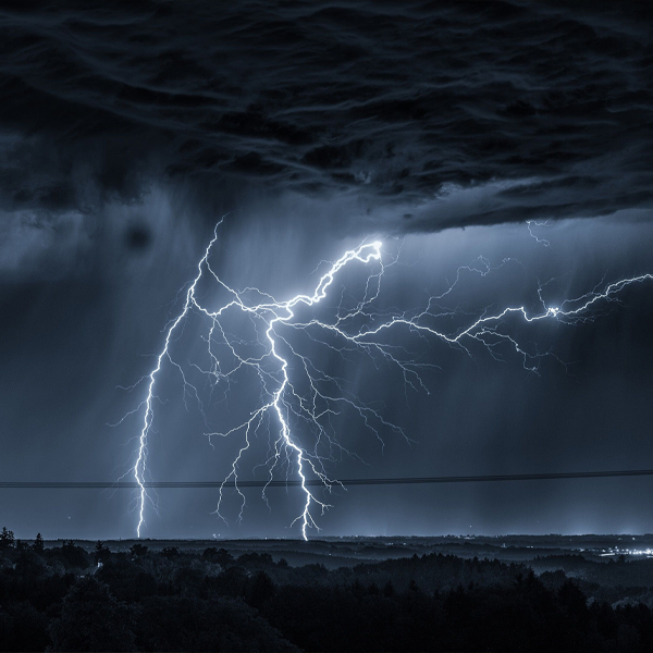
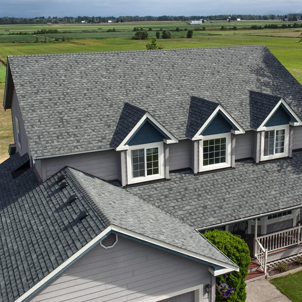
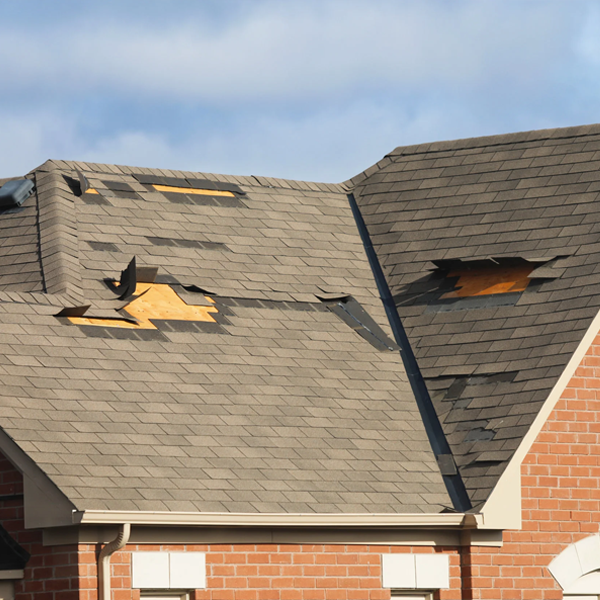
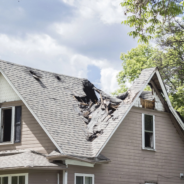
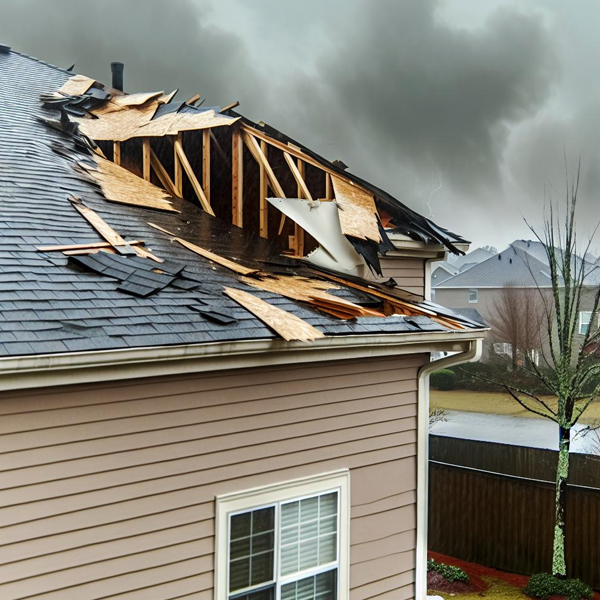
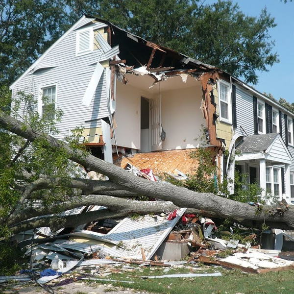
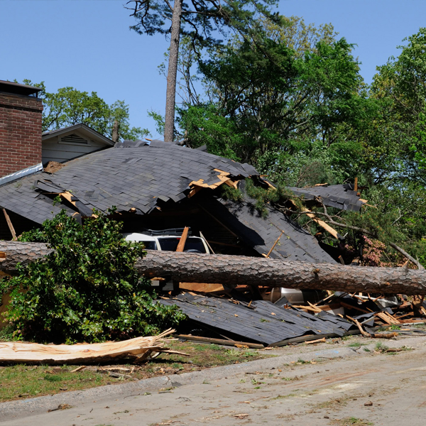
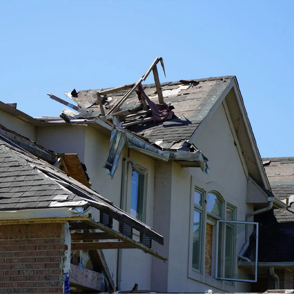
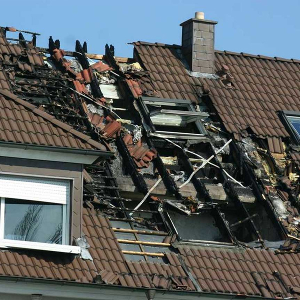
Comprehensive aerial documentation captured immediately after a storm to establish condition, scope of impact, and time-of-loss evidence.

Every image is clearly labeled and time-stamped to provide verifiable, defensible documentation for claims, contractors, and property records.

All findings are delivered in a structured, claim-ready report designed for easy review by adjusters, property managers, and insurers.

A complete photo appendix is included, allowing individual images to be quickly referenced, shared, or uploaded directly into claim files.
